Resource Targeting and Exploration Decisions
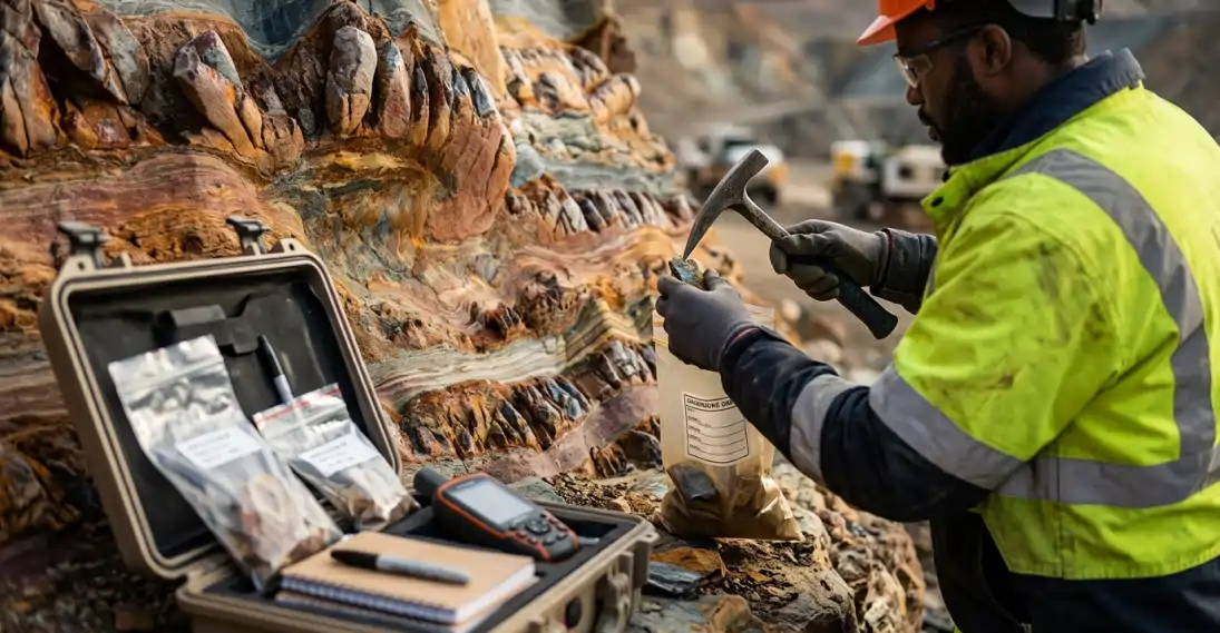
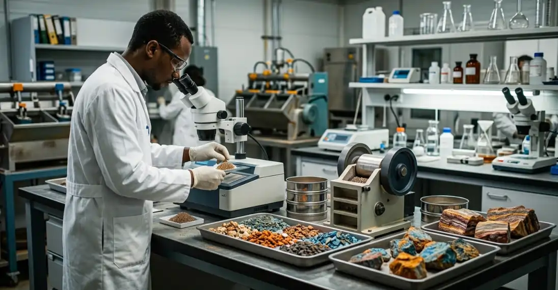
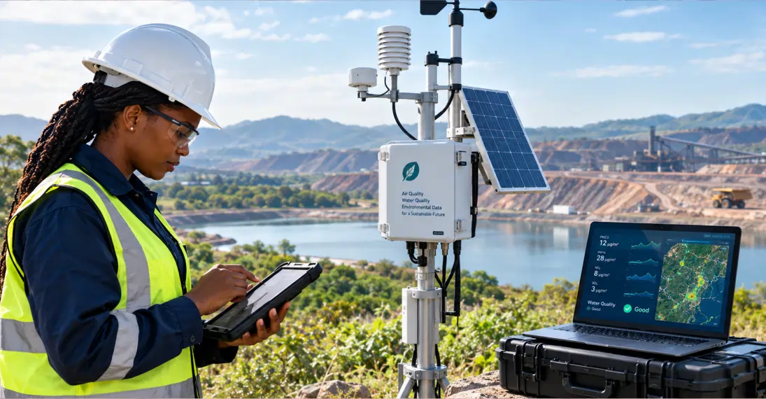
Satellite and airborne sensing, geological information, geophysics and AI can help prioritize prospective areas and focus fieldwork. Geoscientists interpret the information and design the work needed to test each target. Better information early can help countries and partners decide where to investigate, invest and build.